


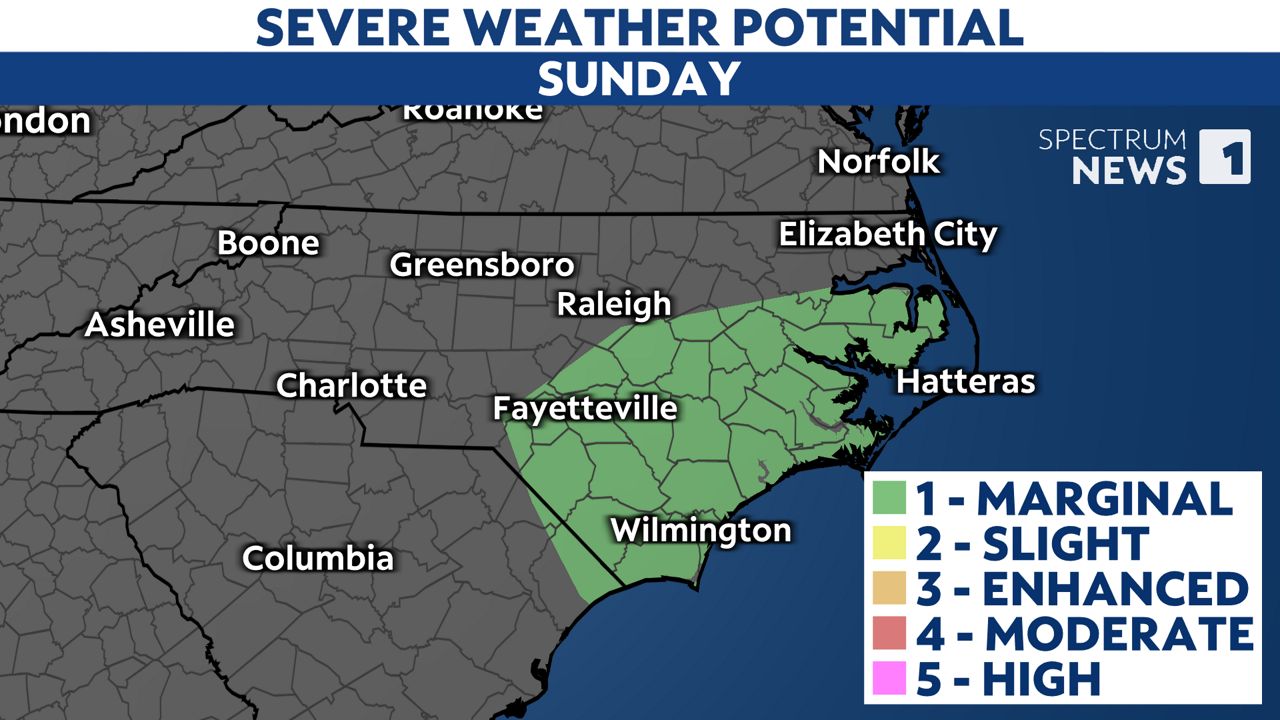
Tropical Storm Chantal made landfall Sunday morning near Litchfield Beach, South Carolina. The system is weakening now as it tracks to the north.
Chantal will bring areas of heavy rain through Sunday afternoon and evening for parts of central and eastern North Carolina that could lead to localized flooding.
Chantal will move north of North Carolina by Monday morning. Unrelated to the storm, the state will stay in an unsettled weather pattern through the week leading to scattered afternoon and evening storms most days.

As Chantal moves to the north, a few torandoes could spin up on the east side of the storm's track.
If you're in or near these areas, make sure you have a way to receive weather alerts through Sunday.
If a Tornado Warning is issued, immediately seek shelter in a small interior room on the lowest floor of a sturdy building.
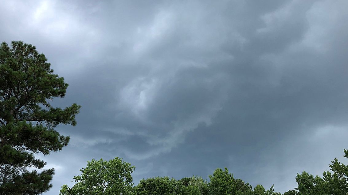
Chantal is also creating rough surf and dangerous rip currents along the Carolina coast. It may be best to stay out of the ocean altogether this weekend.

Rip currents are powerful channels of water that can pull even experienced swimmers away from shore. According to the National Weather Service, rip current drownings have been the leading weather-related killer in the coastal Carolinas over the last decade.

Our weather experts will be working through the holiday weekend to bring you the latest on the forecast. Stay tuned to Weather on the 1s on Spectrum News 1 for updates.