


A quick-moving winter storm impacted parts of the Lower Hudson Valley and New York City metro area with heavy snowfall late Monday night into Tuesday morning.
Even though many places south of I-78 dealt with rain at the onset, much of the New York City area saw a changeover to snow before daybreak Tuesday morning, becoming steadier and heavier during the morning commute.
Parts of the Lower Hudson Valley reported the highest accumulations, where some places measured as much as a foot of snow.
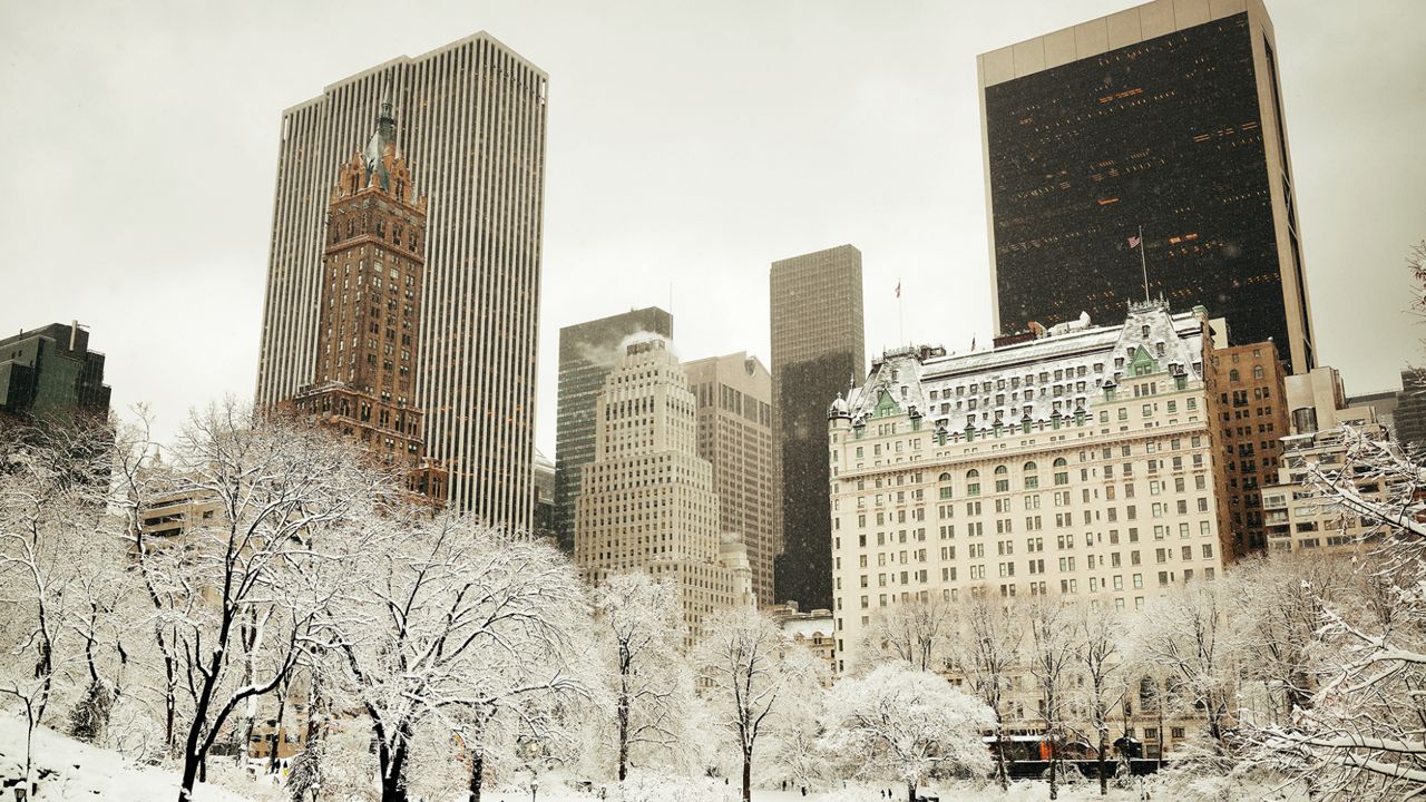
Snowfall totals were lower in and around the Big Apple, ranging between 3 to 5 inches. Despite only reporting 3.2 inches of snow from the event, it was still the most snow reported in Central Park in over two years!
Take a look at the snowfall amounts reported to the National Weather Service as of 2 p.m. Tuesday. Find out how much snow fell near you by clicking or tapping the snow icons on the interactive map below.