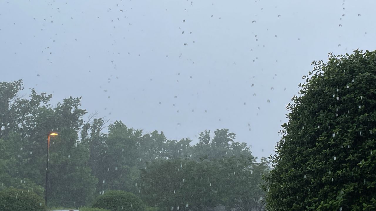
A few evening storms across the region will slowly begin to ramp down as we go through the next several hours. We'll find a partly cloudy sky overnight with lows down into the mid 70s. A few overnight showers are possible in spots, dropping in from the north. These storms will be hit and miss but don't be surprised if you wake up to find a wet lawn or driveway in the morning.
Our weather pattern begins to take a turn heading into our Tuesday and Wednesday as this heatwave wraps up. Our area of high pressure departs to the west, opening the door for an area of low pressure to turn in from the east. This low will bring very deep tropical moisture with it. While not record setting, the atmosphere is slated to be in the top 1% of moisture content - indicative of some very efficent rainmakers over the next couple of days. Expect periods of heavy rainfall Tuesday and Wednesday all across the peninsula with some areas picking up between 3-4" of rainfall by the time it wraps up Wednesday evening. Highs will return to the 80s due to this higher rain chance.
.png) |
Highs: Upper 80s Lows: Mid 70s Rain Coverage: 60% |
Check your hour-by-hour forecast here | Share your weather photos


