


CONCAN, Texas — Officials in Uvalde County are monitoring flooding in the region as the rain starts to weaken in the area.
Parts of Uvalde County, along with multiple nearby counties, were under a flash flood warning until 10:30 a.m. Tuesday, according to the National Weather Service.
The only flood warning to continue in the region until Wednesday morning was for the Nueces River below Uvalde. A flood watch is in effect until 9 p.m. Tuesday.
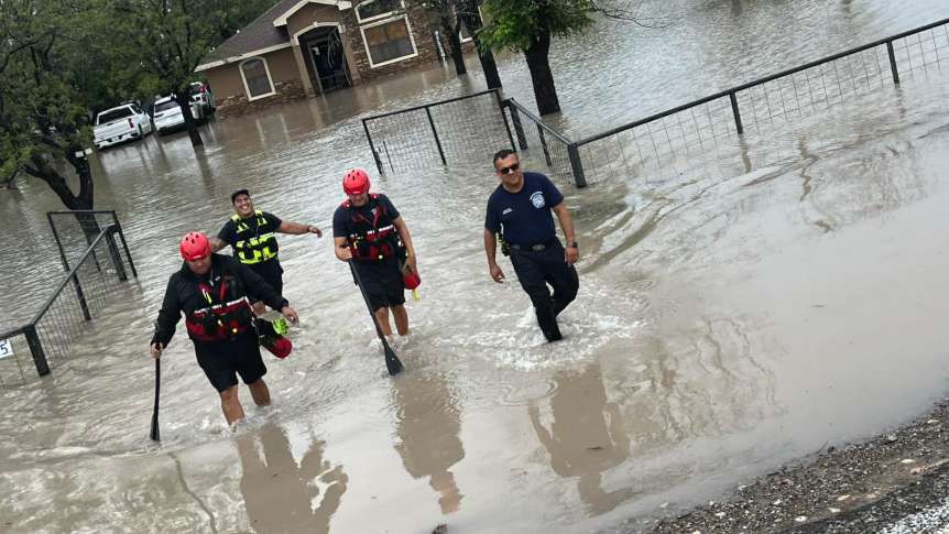
Early Tuesday morning, the Uvalde Volunteer Fire Department had two active rescues due to vehicles stuck in high water.
The National Weather Service’s office that covers Austin and San Antonio posted a radar update at 7:40 a.m. on Tuesday saying that the storm system is showing signs of weakening but that a few heavier cells remain. The post also said rivers and creeks will remain at high levels.
The National Water Prediction Service, which is run by the National Oceanic and Atmospheric Administration, forecasted the Frio River at Concan to hit over 15 feet Monday afternoon, but the highest it reached was a little over 13 feet, which is classified as "moderate" flooding.
Just southwest of Uvalde, Maverick County — which includes Eagle Pass — also experienced some severe weather, with mandatory evacuation orders issued for Quemado and Normandy.
This round of severe weather comes after severe weather hit Central Texas on the Fourth of July, causing catastrophic flooding that has left at least 132 people dead and over 160 people missing.